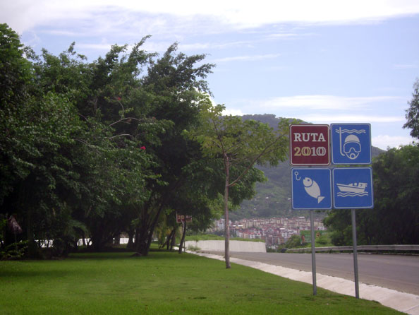
Ruta 2010 sign. Photo by Catherine Krantz
If you have travelled the roads of Mexico recently, it is likely you have encountered signs that say, RUTA 2010…
What does it mean? In 2010, Mexico will be celebrating the bicentenary of their National Independence and the centenary of the Mexican Revolution. To celebrate this, the Government has chosen six historical routes to commemorate these two great dates. Ruta (route) 2010 is a project to celebrate Mexico’s heritage and educate travelers about Mexican history. The offerings include exhibits of pre-Hispanic, Spanish, modern and contemporary Mexican art, historic routes, shows, publications, seminars, the opening of ten new archeological sites, maintenance of the country’s most important pre-Hispanic sites and the remodeling of thirty museums that will serve as venues for the Independence’s Bicentennial and the Revolution’s Centennial in the year 2010.
The venues were chosen for their proximity to routes that retrace the steps of those who fought the battles of Mexico’s War for Independence and Revolution. For this great celebration, these routes combined are known as Ruta 2010. The Ministry of Communication and Transportation has put signs on these roads and provided tourism information in print at strategic points along the highways. More information can be found through its website: www.bicentenario.gob.mx
-
Path of Freedom
The first route was inaugurated by President Lopez Mateos in 1960. The route follows the steps priest Miguel Hidalgo took from the town of Dolores Hidalgo to Chihuahua. -
Sentiments of the Nation
The second route is based on the route that José María Morelos and his allies went along through Michoacan, Guerrero, Oaxaca, Morelos, Mexico City, Puebla, Veracruz and Chiapas. -
Route Trigarante
The third route walks the path followed in 1821 by Agustín de Iturbide in his quest for Independence. This route starts in Iguala (Guerrero) and ends in Mexico City. - Path of Democracy The fourth route follows the road traveled by Francisco I. Madero from Ciudad Juarez to Mexico City.
-
Route Zapatista
The fifth route utilizes scenarios covering the operations of the Army of the South and covers the states of Morelos and Puebla, and Mexico City. -
Path of the Constitutionalist Revolution
Finally the sixth route or, Path of the Constitutionalist Revolution, takes places in the North Country where Generals Villa, Carranza and Obregon, won a series of political and military actions that resulted in Mexico’s freedom.

